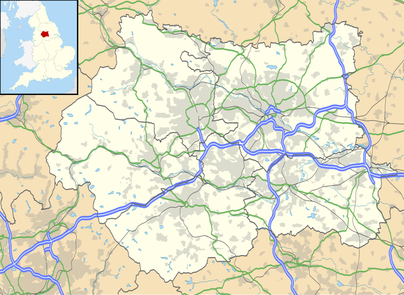
Fil:West Yorkshire UK location map.svg

Storleken för denna PNG-förhandsvisning av denna SVG-fil: 800 × 583 pixlar. Andra upplösningar: 320 × 233 pixlar | 640 × 467 pixlar | 1 024 × 747 pixlar | 1 280 × 933 pixlar | 2 560 × 1 867 pixlar | 1 425 × 1 039 pixlar.
Originalfil (SVG-fil, standardstorlek: 1 425 × 1 039 pixlar, filstorlek: 1,76 Mbyte)
Filhistorik
Klicka på ett datum/klockslag för att se filen som den såg ut då.
| Datum/Tid | Miniatyrbild | Dimensioner | Användare | Kommentar | |
|---|---|---|---|---|---|
| nuvarande | 26 september 2010 kl. 20.19 |  | 1 425 × 1 039 (1,76 Mbyte) | Nilfanion | {{Information |Description=Map of West Yorkshire, UK with the following information shown: *Administrative borders *Coastline, lakes and rivers *Roads and railways *Urban areas Equirectangular map projection on WGS 84 datum, with N/S |
Filanvändning
Följande 11 sidor använder den här filen:
Global filanvändning
Följande andra wikier använder denna fil:
- Användande på ar.wiki.x.io
- Användande på arz.wiki.x.io
- Användande på az.wiki.x.io
- Användande på bg.wiki.x.io
- Användande på ca.wiki.x.io
- Användande på ceb.wiki.x.io
- Användande på de.wiki.x.io
- Användande på en.wiki.x.io
- Kirkstall Abbey
- Holmfirth
- Haworth
- Batley
- Bingley
- Boston Spa
- Brighouse
- Castleford
- Dewsbury
- Elland
- Esholt
- Golcar
- Gomersal
- Greetland
- Guiseley
- Harewood, West Yorkshire
- Thornhill, West Yorkshire
- Walton, Wakefield
- Walton Hall, West Yorkshire
- West Bretton
- Wetherby
- Whitkirk
- Wakefield
- Mirfield
- Mytholmroyd
- Heptonstall
- Hebden Bridge
- Oakworth
- Ossett
- Oxenhope
- Otley
- Pontefract
- Rastrick
- Riddlesden
- Ripponden
- Rothwell, West Yorkshire
- Copley, West Yorkshire
- Cleckheaton
- Keighley
- Kirkburton
- Kirkstall
- Ledsham, West Yorkshire
Visa mer globalt användande av denna fil.